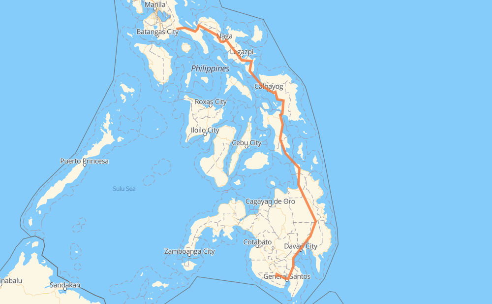
The distance from T'boli to Talipan is 959 miles by road. Road takes approximately 22 hours and 27 minutes and goes through Digos, Davao City, Bayugan, Surigao City, Tacloban, Catbalogan and Calbayog.
You can adjust fuel consumption and fuel price here.
How long is a car ride from T'boli to Talipan?
Driving time:
22 h 27 min
This time is calculated for driving at the maximum permitted speed, taking into account traffic rules restrictions.
118 mi with a maximum speed 56 mph = 2 h 6 min
3 mi with a maximum speed 56 mph = 3 min
629 mi with a maximum speed 50 mph = 12 h 40 min
6 mi with a maximum speed 43 mph = 7 min
127 mi with a maximum speed 37 mph = 3 h 23 min
42 mi with a maximum speed 31 mph = 1 h 22 min
7 mi with a maximum speed 25 mph = 16 min
2 mi with a maximum speed 19 mph = 6 min
29 mi with a maximum speed 12 mph = 2 h 21 min
The calculated driving time does not take into account intermediate stops and traffic jams.
How far is T'boli to Talipan by land?
The distance between T'boli and Talipan is 959.4 mi by road.
Precise satellite coordinates of highways were used for this calculation. The start and finish points are the centers of T'boli and Talipan respectively.
How far is T'boli to Talipan by plane?
The shortest distance (air line, as the crow flies) between T'boli and Talipan is 577.3 mi.
This distance is calculated using the Haversine formula as a great-circle distance between two points on the surface of a sphere. The start and finish points are the centers of T'boli and Talipan respectively. Actual distance between airports may be different.
How many hours is T'boli from Talipan by plane?
Boeing 737 airliner needs 1 h 9 min to cover the distance of 577 mi at a cruising speed of 497 mph.
Small plane "Cessna 172" needs 4 h 13 min to flight this distance at average speed of 136 mph.
This time is approximate and do not take into account takeoff and landing times, airport location and other real world factors.
How long is a helicopter ride from T'boli to Talipan?
Fast helicopter "Eurocopter AS350" or "Hughes OH-6 Cayuse" need 3 h 52 min to cover the distance of 577 mi at a cruising speed of 149 mph.
Popular "Robinson R44" needs 4 h 25 min to flight this distance at average speed of 130 mph.
This time is approximate and do not take into account takeoff and landing times, aerodrome location and other real world factors.
What city is halfway between T'boli and Talipan?
The halfway point between T'boli and Talipan is MacArthur. It is located about 1 mi from the exact midpoint by road.
The distance from MacArthur to T'boli is 480 mi and driving will take about 11 h 13 min. The road between MacArthur and Talipan has length 479 mi and will take approximately 11 h 14 min.
The other cities located close to halfway point:
Javier is in 475 mi from T'boli and 483 mi from Talipan
Salvacion is in 486 mi from T'boli and 473 mi from Talipan
Abuyog is in 470 mi from T'boli and 488 mi from Talipan
Where is T'boli in relation to Talipan?
T'boli is located 577 mi south-east of Talipan.
T'boli has geographic coordinates: latitude 6.21364, longitude 124.82268.
Talipan has geographic coordinates: latitude 13.96265, longitude 121.65522.